
Dramatic footage of a storm front blowing into Boulder. Captured from Boulder Mountain Ranch by @MountainRoche tweet ![]()

Uploaded image
We recognized the trailhead sign in the video and found a picture on a clear day from a similar location using Google Street View by looking for that sign.
.
40.0707265,-105.2821514 Foothills Trailhead
street view ![]()
.
 Daily Summary. Maximum Peak Gust 97.6 mph (43.6 m/s) at 11:55am
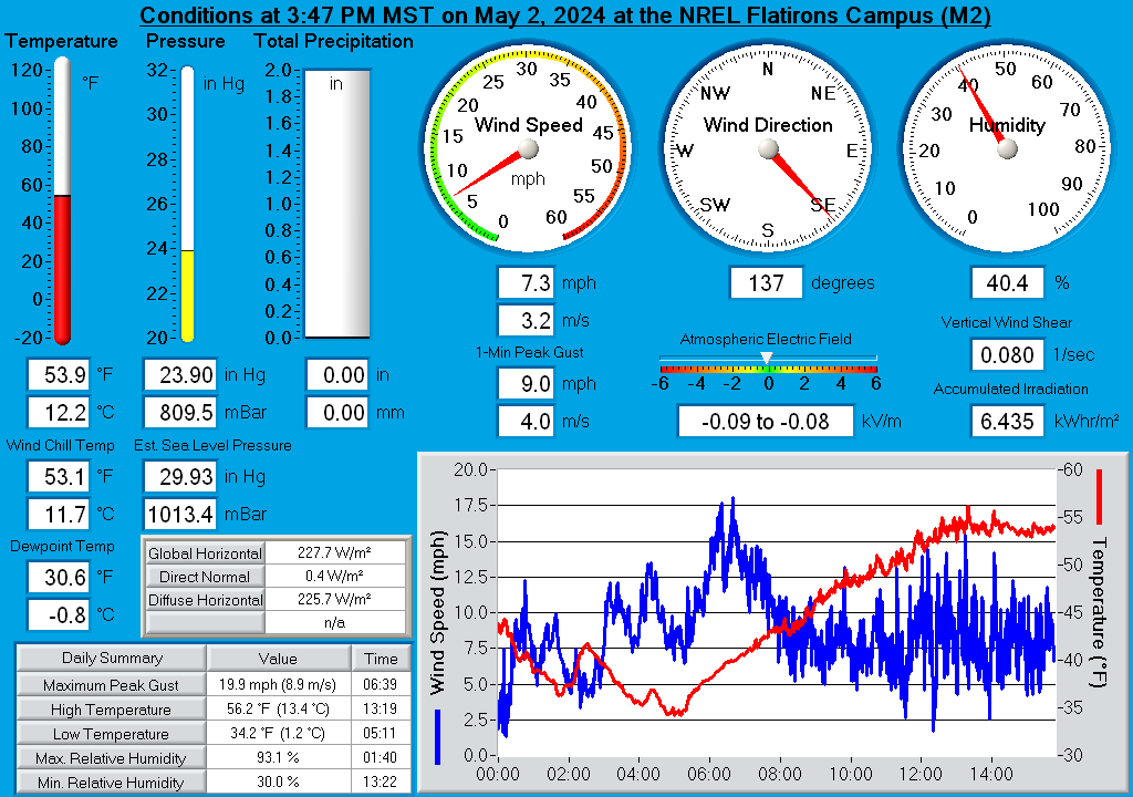
NREL Weather Station updates every minute.
 PNG
PNG
https://midcdmz.nrel.gov/nwtc_m2/display/
NREL Weather Station site ![]() HEIGHT 400
HEIGHT 400
.
Denver Post has an article about wind storms on the front range from 2005. It has a nice explanation of the features of our local geography that contribute to high winds. article ![]()
Most damaging windstorms
April 8-10, 1999: $20 million in damage throughout the state but primarily along the Front Range. Highest wind speed clocked at 116 mph northwest of Bingham Hill near Fort Collins. Crop damage, blowing dust, damage to roofs, multiple accidents and power outages that sparked small grass fires.
Jan. 17, 1982: $20 million in damage in Boulder County.
Jan. 28-29, 1987: $10 million in damage along the Front Range.
Oct. 29, 1996: $5.2 million in damage along the Front Range. A rural Boulder County man was crushed to death when wind blew over his pop-up camper.
Feb. 2-3, 1999: $3 million in damage. Chinook winds struck Front Range foothills and adjacent plains, with gusts in excess of 100 mph. Wind measured at 127 mph at Sugarloaf Mountain and 120 mph in Lafayette.
Oct. 25, 1997: Wind estimated at more than 120 mph leveled 20,000 acres of trees that were 300 years old and 100 feet high in the Mount Zirkel Wilderness Area and Routt National Forest.
Sources: Rocky Mountain Insurance Information Association, National Weather Service
.
I remember a picture in the newspaper probably from the 1982 or 1987 storms. The picture was of Bandimere Speedway's bandstands looking like they had been twisted into a knot. I vaguely remember the article reporting that winds had gotten to 100 or 150mph.
39.6609802,-105.1872953 Bandimere Speedway
.
Only two weeks after I created this page, I was watching the NREL weather station when the Marshall Fire ignited. It went on to destroy 1100 homes. See Wind and Fire 2021-12-30.